- Loading a
Gallery of Photos
-
- Blanchland, England
-
- . . . THIS MAY TAKE A MOMENT OR TWO . . .
-
-
-
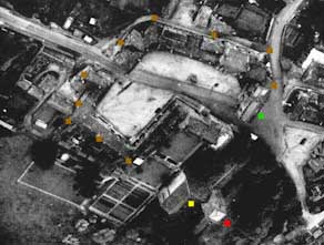
- Aerial photo showing the remains of Blanchland.
- Green square -
gatehouse, with modern road passing through
- the cloister area.
- Brown squares
- cloister buildings, refurbished by the
- antiquarian owner of the land and occupied by
townspeople.
- Red square -
abbey church tower at what was centre of crossing
- Yellow square
- surviving abbey church remnant, actually a portion
- of the south trancept.
-
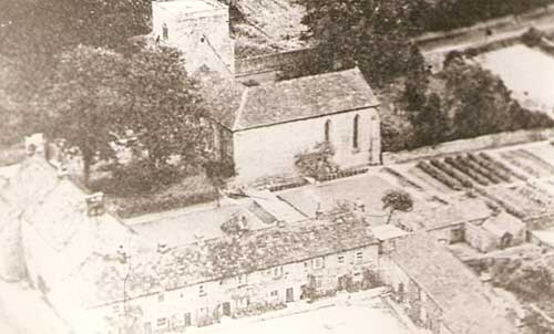
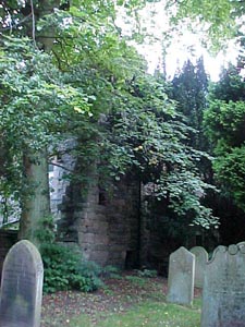
- Closeup of the abbey church remnant, with cemetery at its side.
- In lower portion of photo are some of the refurbished cloister buildings
- (Photo Credit: R. D. Norbert Backmund, O.Praem., in the 1950s)
-
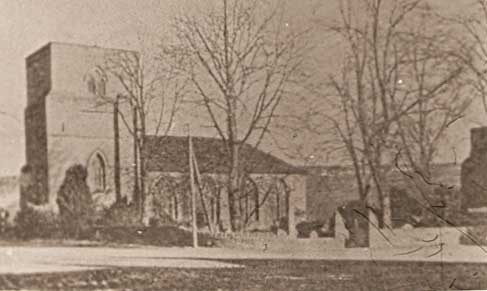
- Another view of the abbey church remnnant.
- (Photo Credit: R. D. Norbert Backmund, O.Praem., in the 1950s)
-
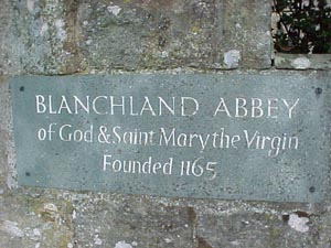
Sign outside the present church and graveyard.
-
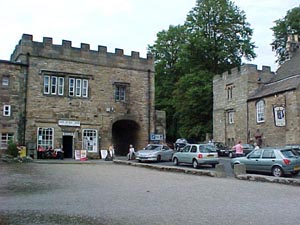
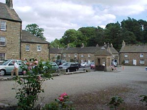
- Gatehouse (interior aspect) with pedestrian walkway
through it,
- and auto-road passing it on its right. The
- abbey church remnant is behind these buildings
- to the right.
-
-
-
-
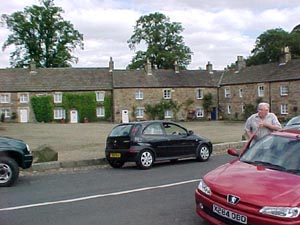
- Cloister buildings, with road running directly through
-
what was the quadrangle of the monastery.
-
-
-
- Of course these 'cloister buildings bear no resemblance to
- the medieval buildings of the abbey. They were converted into village
- residences
and stores in the 18th century.
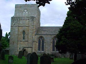
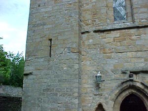
- Modern view of the church exterior (south front)
- showing tower, south transept and church remnant.
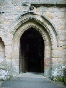
Present entrance, former south transept door.
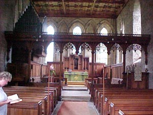
Present church, in part of what was the south transept of
the Abbey Church.
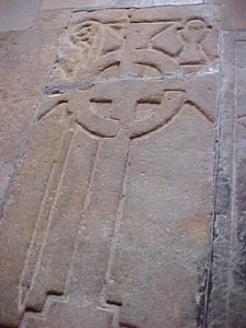
Abbatial Tomb.
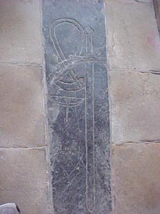
Tomb of the Abbey's Gamekeeper.
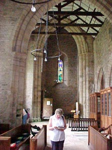
Vestibule of south transept, where tombs are
located.
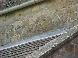
Cloister roof line on front exterior of church.
Clerestory window remains on exterior church wall.
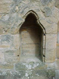
Exterior font to the side of the south transept entry.
- In the southwest corner of the graveyard outside the present
front entry
- can be seen a remaining wall of the original nave. The graveyard
- is in and adjacent to the former nave.